While winter stubbornly refuses to dress up and prepare for the holidays, we are slowly and carefully changing the decorations and getting ready for the 2025 ascent to the highest peak of Latvia.
We will open registration for the hike on next Thursday, December 19th at 9:00 PM right here on the website, just when your sports bag is tossed in the corner, dinner leftovers cool slowly in wait for a hungry soul to approach the stove for seconds, and good parents will have tucked the kids in for the night.
It's time go, but quietly and carefully, so as not to wake the sleepers!
You have plenty of time to reflect, but in the end, take action.
P.S. It's also possible to buy gift cards for participation, contact info@kolkadubulti.lv for more info!
Baltais Kalns - sensory engineers
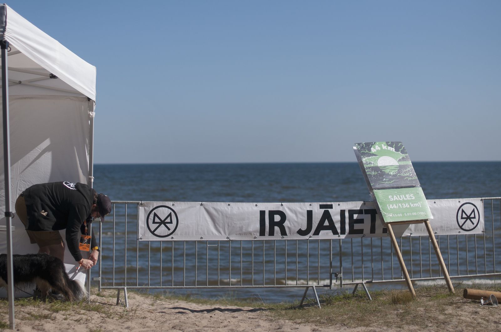
#BaltaisKalns #KolkaDubulti #IrJāiet